This page is an index and aims to be a one-stop-shop for weather and natural hazard information. The thinking being, if I hear about a severe thunderstorm warning, blizzard info, or wildfire, I head here.
## National Weather Service
The [Fort Collins NWS](https://forecast.weather.gov/MapClick.php?lon=-105.019&lat=40.6) page has good information an the [National Weather Service Office Boulder, CO](https://www.weather.gov/bou/) is our local forecast office.
The [Graphical Forecast Map](https://digital.weather.gov/?zoom=6&lat=40.51137&lon=-105.24512&layers=F00BTTTFFTT®ion=0&element=23&mxmz=false&barbs=false&subl=TFFFFF&units=english&wunits=nautical&coords=latlon&tunits=localt) is useful for looking at snow amounts and accumulation.
## WeatherSTAR
[WeatherSTAR](https://weatherstar.netbymatt.com/?hazards-checkbox=true¤t-weather-checkbox=true&latest-observations-checkbox=true&hourly-checkbox=false&hourly-graph-checkbox=true&travel-checkbox=false®ional-forecast-checkbox=true&local-forecast-checkbox=true&extended-forecast-checkbox=true&almanac-checkbox=true&spc-outlook-checkbox=true&radar-checkbox=true&settings-wide-checkbox=false&settings-kiosk-checkbox=false&settings-speed-select=1.00&settings-units-select=us&latLonQuery=Fort+Collins%2C+CO%2C+USA&latLon=%7B%22lat%22%3A40.5889%2C%22lon%22%3A-105.0824%7D)
### Forecast Plot
This is a sane set of defaults for the forecast plot, it doesn't show sleet or fog.

### [[GOES]] GEOCOLOR Composite - Northern Rockies

### MesoWest Buckeye
The [MesoWest station at Buckeye](https://mesowest.utah.edu/cgi-bin/droman/meso_base_dyn.cgi?stn=BEYC2&unit=0&timetype=GMT) is probably more relevant to me than the KFNL sensor since it's in the open and better emulates northern Fort Collins.
## NWS Cheyenne Radar
The [Cheyenne Radar](https://radar.weather.gov/station/kcys/standard) is probably the best coverage for us, Denver is a bit too far away. [[Radar Scope]] is a better app but this is govt data.

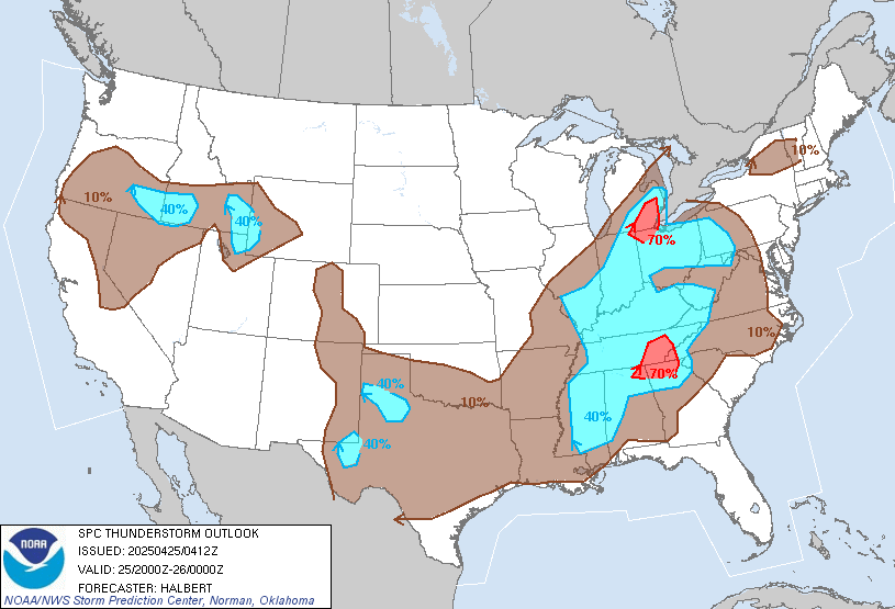
## Storm Prediction Center
The [NOAA/NWS Storm Prediction Center](https://www.spc.noaa.gov/) website which has good information on warnings and discussion.
#### Outlook Gif

#### Thunderstorm Outlook
## Weather Prediction Center
### Snow Prediction
View the [maps](https://www.wpc.ncep.noaa.gov/pwpf/wwd_accum_probs.php?fpd=24&ptype=snow&amt=1&day=1&ftype=probabilities) for accumulation by percentile for then next three days of 24 hour windows.
## Bear Lake Snow
https://nwcc-apps.sc.egov.usda.gov/awdb/site-plots/POR/WTEQ/CO/Bear%20Lake.html
## Poudre River Flow
https://nwcc-apps.sc.egov.usda.gov/awdb/stf-plots/CO/Cache%20La%20Poudre%20at%20Canyon%20Mouth.html